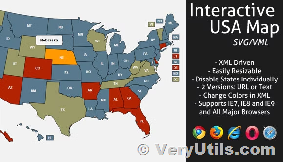
VeryUtils Custom Interactive Map WordPress Plugin is the #1 custom map WordPress plugin on the web. Transform simple images and vector graphics into high-quality, responsive, and fully interactive maps with ease.
https://veryutils.com/interactive-svg-map
Key Features
- Unlimited landmarks: Add locations with unique pins and various actions.
- Unlimited floors: Support for multiple floors without any limitation.
- Deeplinking: Every location can be referenced by its own URL.
- Responsive design: Provides an optimal experience across a wide range of devices.
- Touch optimized: Supports touchscreen devices like tablets and smartphones.
- Admin interface: User-friendly backend for easy management.
- Well documented: Includes a detailed user guide for seamless implementation.
The Ultimate Versatile Solution
Sometimes, a tile-based web mapping service isn’t sufficient, and that’s where VeryUtils Custom Interactive Map WordPress Plugin shines. Upload your own maps or vector drawings, or choose from our built-in directory, and transform them into dynamic, interactive experiences. This plugin is perfect for:
- Building floorplans: Shopping malls, hospitals, schools, airports, and public buildings.
- Illustrated maps: Ski resorts, isometric maps, or any kind of artistic illustration.
- Temporary maps: Camps, festivals, or other temporary locations.
- Maps for vessels: Moving vessels like cruise ships.
- Historical maps: Recreating historical landscapes, sites, or buildings.
- Fantasy maps: RPG and video game maps, or fictional realms.
The possibilities are limitless, limited only by your imagination!
If your site isn’t on WordPress, consider our jQuery version of VeryUtils Custom Interactive Map Plugin!
One-of-a-Kind Map Plugin
VeryUtils Custom Interactive Map WordPress Plugin stands out with its rich feature set and wide range of uses. It’s a fully customizable and multi-purpose tool that effortlessly turns images and SVG vectors into professional, interactive maps and floorplans.
Built-in Maps
The plugin includes a robust portfolio of built-in maps:
- World, World Continents, Europe, United States (USA), Canada, Australia, France, Germany, Italy, United Kingdom (UK), The Netherlands, Switzerland, Russia, China, Brazil.
- We continually expand our map directory with free, high-quality maps including Austria, Belgium, Hungary, Japan, Mexico, Poland, Romania, South Africa, Spain.
Responsive and Interactive Experience
Your VeryUtils Custom Interactive Map WordPress Plugin maps and floorplans are fully responsive and optimized for touchscreen devices. Users can enjoy an intuitive experience on mobile, tablet, or touchscreen kiosks. Features like zoom and pan, minimap, tooltip, and category filters enhance usability and navigation.
